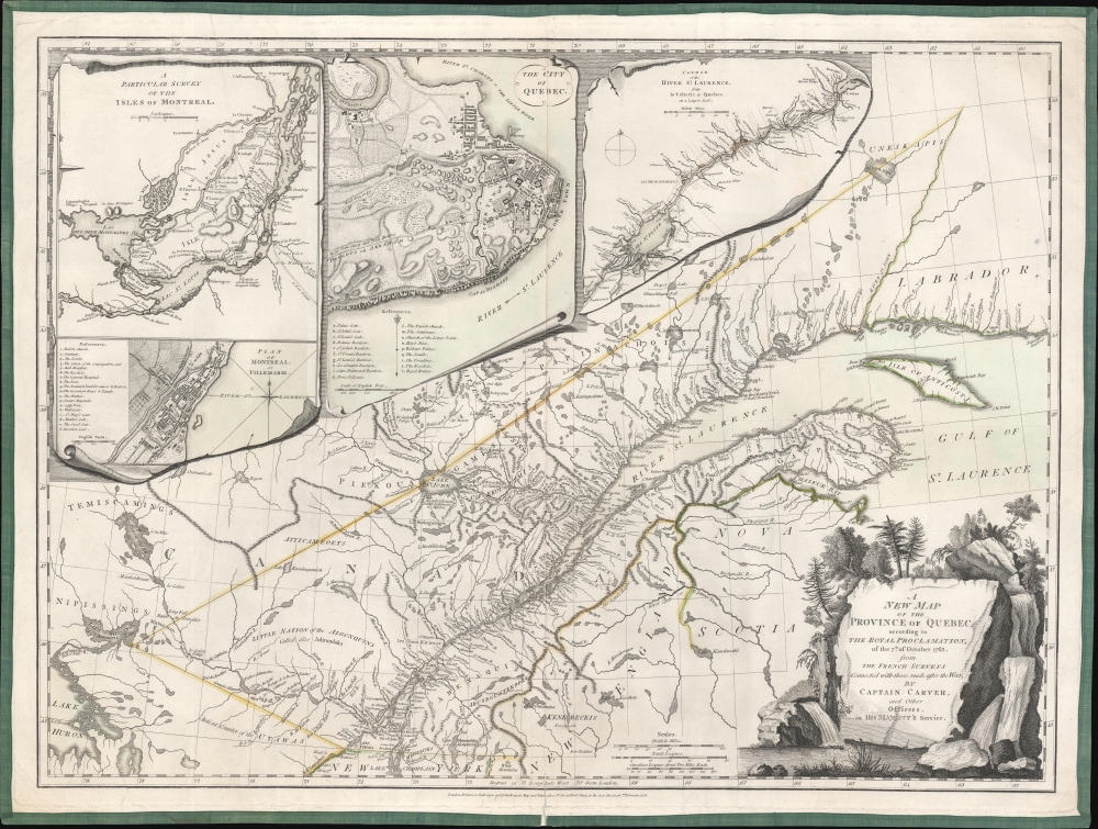
A New Map of the Province of Quebec, according to the Royal Proclamation of the 7th of October 1763 from the French Surveys Connected with those made after the War, by Captain Carver and Other Officers, in His Majesty's Service.: Geographicus Rare Antique Maps